The “Manno Lake and Quince” Route
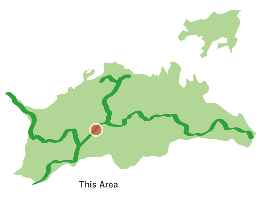
The “Manno Lake and Quince” Route(6.9km)


※下記表はスクロールしてご覧ください。
 Spots to photograph
If you wish to receive a certificate, please take a photo that includes yourself at the designated photo point for each course.
Nearby sightseeing spots
-
1
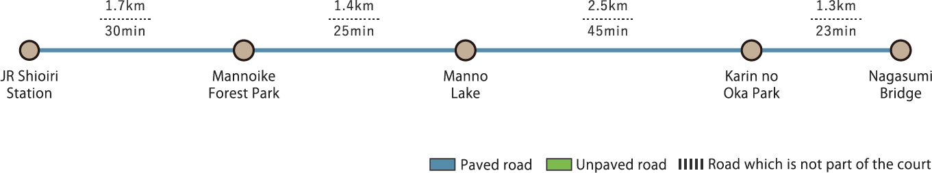
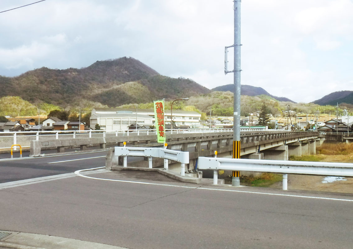 Nagasumi Bridge
Doki River is Kagawa Prefecture's only class-A river (designating it as a waterway of special importance to the nation). The bridge that crosses Doki River is widely known as "Nagasumi."
-
2
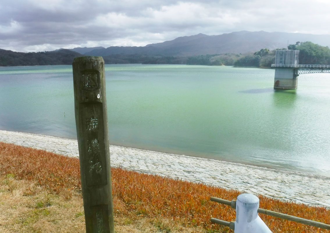 Manno Lake
One of the largest irrigation reservoirs in Japan, Manno Lake is said to have been created in the Daiho era (701–704). In the 12th year of the Konin era (821), the Buddhist monk Grand Master Kukai used the Tang dynasty’s latest engineering techniques to renovate the dam, completing Japan’s first arch dam in a short time. The new design boasted several times the strength of past dams. The dam has been further renovated and raised since that time, and now boasts a water storage capacity of 1,540 tons. Known as the “water jug of Sanuki” (an old name for Kagawa), these blessed waters of Kukai spread out over a vast area like an ocean.
-
3
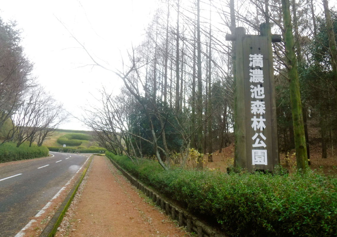 Mannoike Forest Park
The hilly region that extends to the south of Manno Lake is Kagawa Prefecture's Mannoike Forest Park. The park grounds are home to the Educational Forest Museum, where you can learn about forests.
-
4
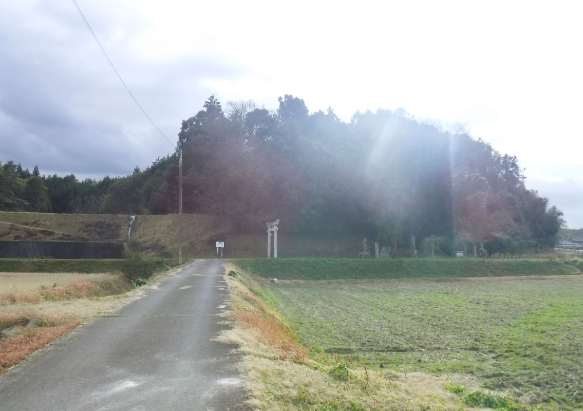 Shiratori Shrine Grove
This sacred grove is located at the foot of a small hill. Chinquapin trees, ring-cupped oaks, Quercus salicina and other broadleaf evergreen trees grow here in abundance, just like the forests of Kagawa Prefecture in ancient times.

