Shikoku Karst Route

Shikoku Karst Route
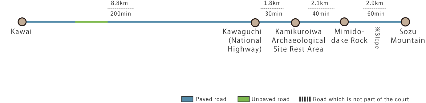
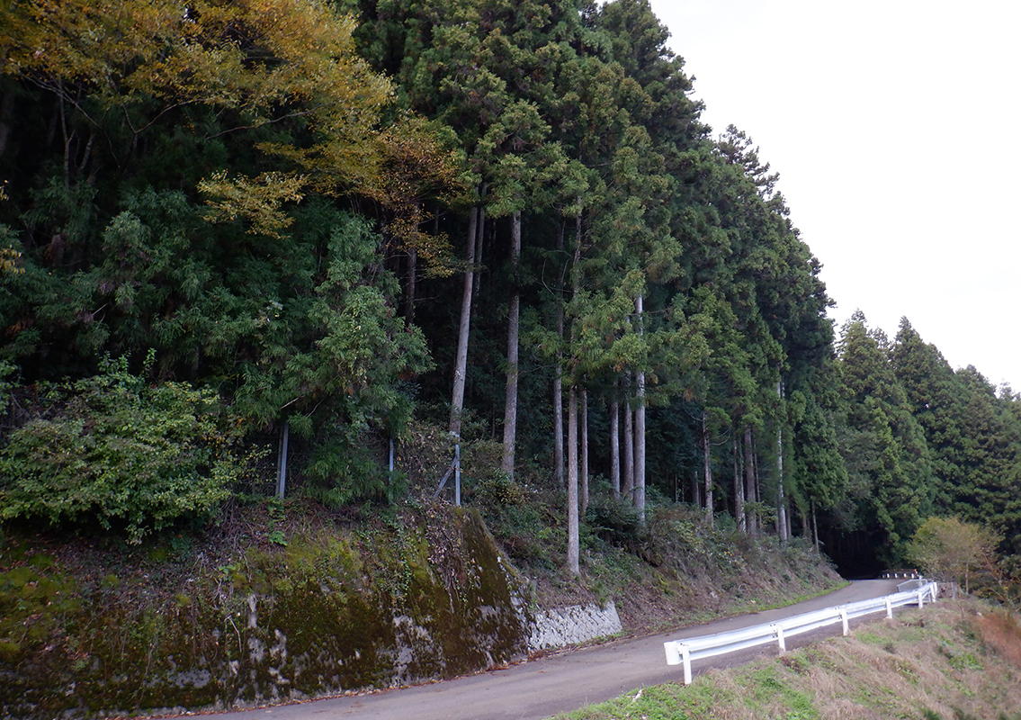
This route begins at the Kawai Rest Area, heading south through a forested area before reaching National Route 33. From there, it continues east, crossing the Kuma River at Kamikuroiwa, where the Kamikuroiwa Archaeological Site Rest Area and Museum are located. The museum displays artifacts from the Jomon period. Further east, you will reach the Mimido-dake Rock, a 37-meter-high rock formation that is an impressive sight. After passing Mimido-dake Rock, the 15.6 km route leaves the national highway and enters a mountain trail, leading to the base of Sozu Mountain.
Shikoku Karst Route(15.6km)


※下記表はスクロールしてご覧ください。
 Spots to photograph
If you wish to receive a certificate, please take a photo of yourself at the designated photo point on each course.
Nearby sightseeing spots
-
1
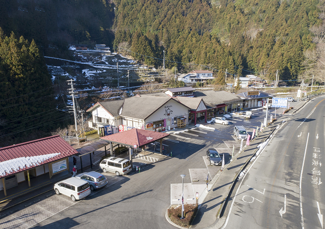
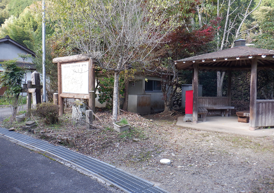 Kawai Rest Area
Kawai Rest Area is located slightly downhill from Prefectural Road 12. Around 1900, this area was lined with 15 pilgrim lodges, bustling with up to 300 guests per night at its peak. Though little remains of that era today, the local community maintains a clean public restroom here. Be sure to use it before continuing into the mountain trail.
-
2
 Kamikuroiwa Archaeological Site Rest Area
Discovered in 1961, the Kamikuroiwa Rock Shelter Site contains evidence of life from over 10,000 years ago, during the Jomon period. Among its discoveries are Japan's oldest known female figurine and the nation's earliest style of pottery, both of which have been designated as National Historic Sites. These artifacts are displayed in the adjacent museum, which is open to the public.
-
3
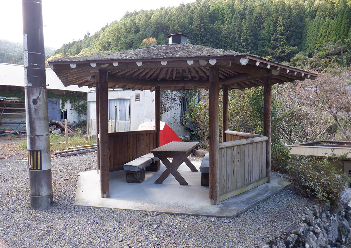
 Former Yamanaka Residence
This mountain village house was designated an Important Cultural Property in 1970. While its exact construction date is unknown, details of its architectural techniques suggest it was built sometime between the mid-to-late 18th century. The house features a narrow dirt-floor entrance and a row of rooms arranged in a linear layout. While similar layouts can be found in other mountain villages, the Former Yamanaka Residence exemplifies this style particularly well.
-
4
 Roadside Station Mikawa
The station is located along National Route 33 in the former Mikawa district of Kumakogen Town, about 40 km from Matsuyama and 75 km from Kochi City. This roadside station sells local specialty products from Kumakogen Town and also has a dining area.
-
5
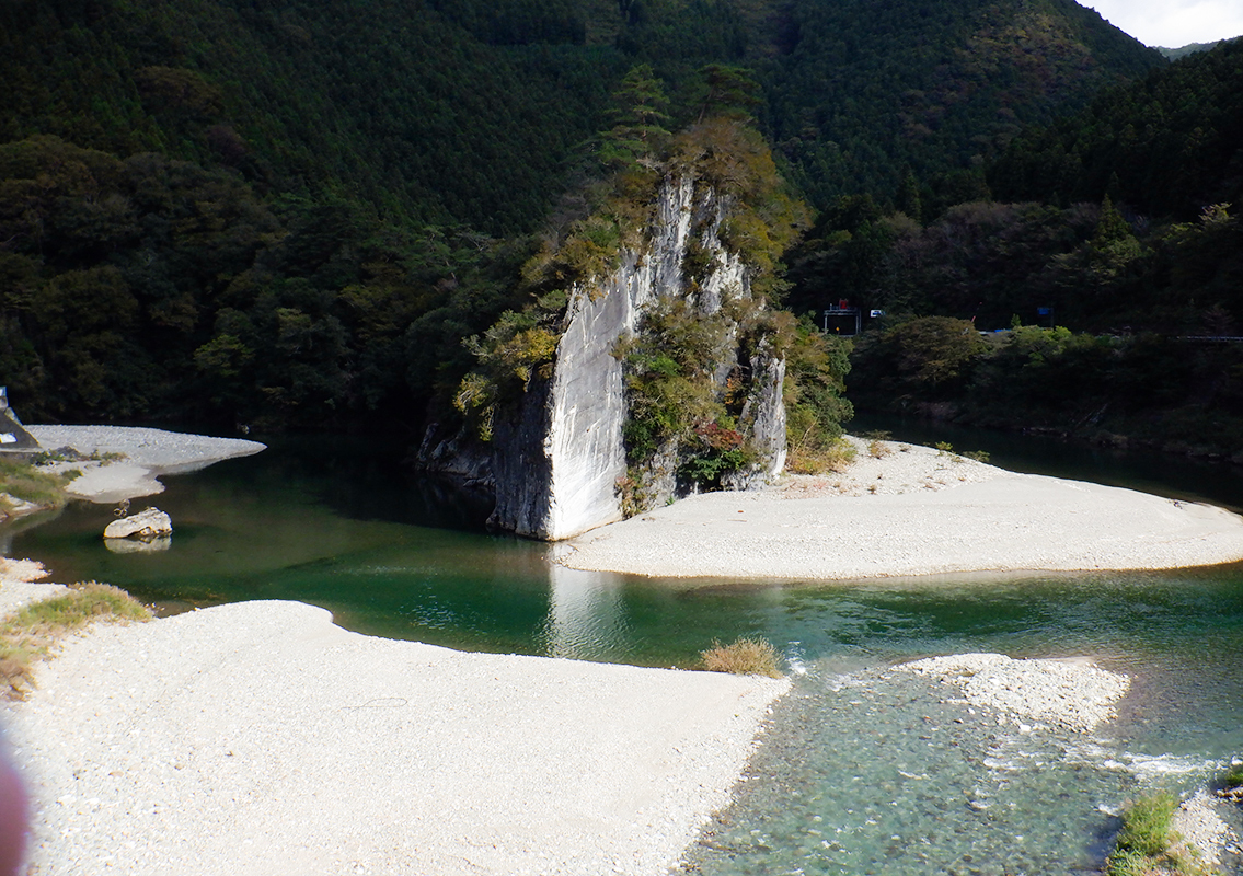 Mimido-dake Rock
At Mimido, the Omogo River and Kuma River converge, causing the flow to become relatively calm. Here stands Mimido-dake Rock, a striking 37-meter-tall limestone rock formation shaped like a triangle. The sunlight reflecting off the deep water below casts colorful hues on the rock face, earning it the nickname "Shichimencho Rock" (Turkey Rock).
-
6
 Endpoint: Sozu Mountain
The final destination, the Nakakuroiwa district, was once part of Mikawa Village before it merged into Kumakogen Town during the Heisei-era municipal merger. However, until the mid-Meiji period, this area was an independent village known as Nakakuroiwa Village. The Sozu Mountain towers over this historic landscape.

