Shikoku Karst Route
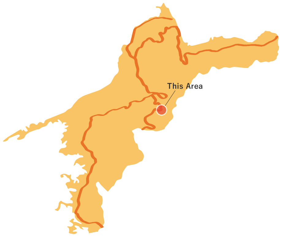
Shikoku Karst Route
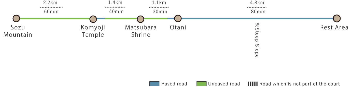
This 9.5 km route starts from a descending path off of the prefectural road at the base of Sozu Mountain, passing through Komyoji Temple and Matsubara Shrine before reaching the former Mikawa Ski Resort Rest Area. Along the way, the scenic countryside, with its forested mountains and farmland, offers a picturesque landscape worthy of a calendar.
Shikoku Karst Route(9.5km)


※下記表はスクロールしてご覧ください。
 Spots to photograph
If you wish to receive a certificate, please take a photo of yourself at the designated photo point on each course.
Nearby sightseeing spots
-
1
 Starting Point: Guidepost
On the left side of the prefectural road, a descending path leads toward the endpoint. This marks the starting point. To the right of the road stands the Sozu Mountain.
-
2
 Sozu Mountain
The Nakakuroiwa district was once part of Mikawa Village before it merged into Kumakogen Town during the Heisei-era municipal merger. However, until the mid-Meiji period, this area was an independent village known as Nakakuroiwa Village. The Sozu Mountain towers over this historic landscape.
-
3
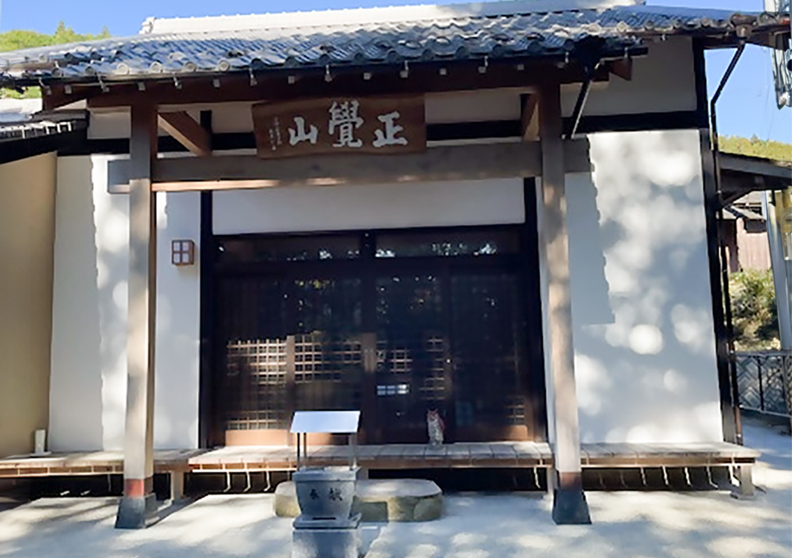 Komyoji Temple
Founded in 1582 by Funakusa Dewa-no-kami Minamoto-no-Masatsuna, Komyoji was originally enshrined as Matsubara Hachisha Shrine, where Shinto and Buddhist practices were interwoven.
However, following the Meiji-era policy of separating Buddhism and Shinto, the temple was relocated to its current site.
After passing Komyoji, the route leads to a town road. Continue about 300 meters, then take the descending path on the left. -
4
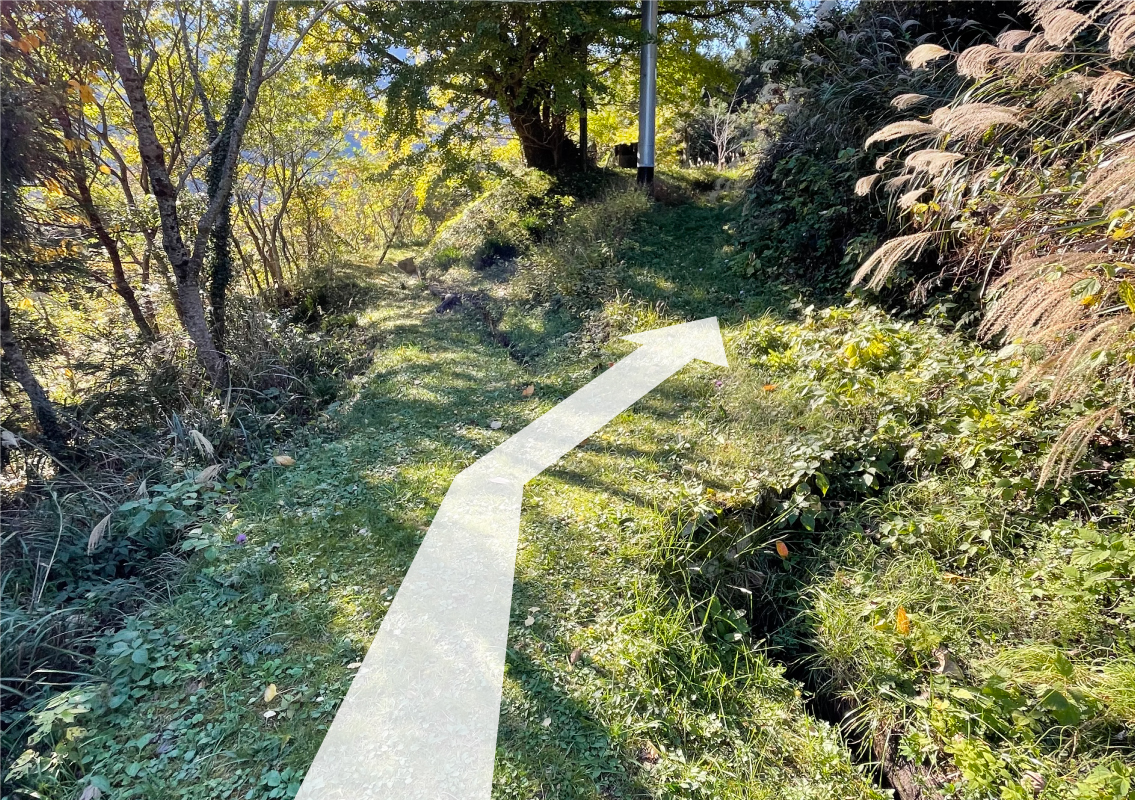 Rest Area
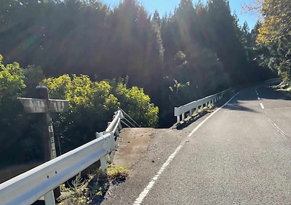
After taking the descending path, the route follows a waterway for about 300 meters before transitioning to a mountain-side path. Just after entering the mountain path, you will find rest area equipped with benches.
-
5
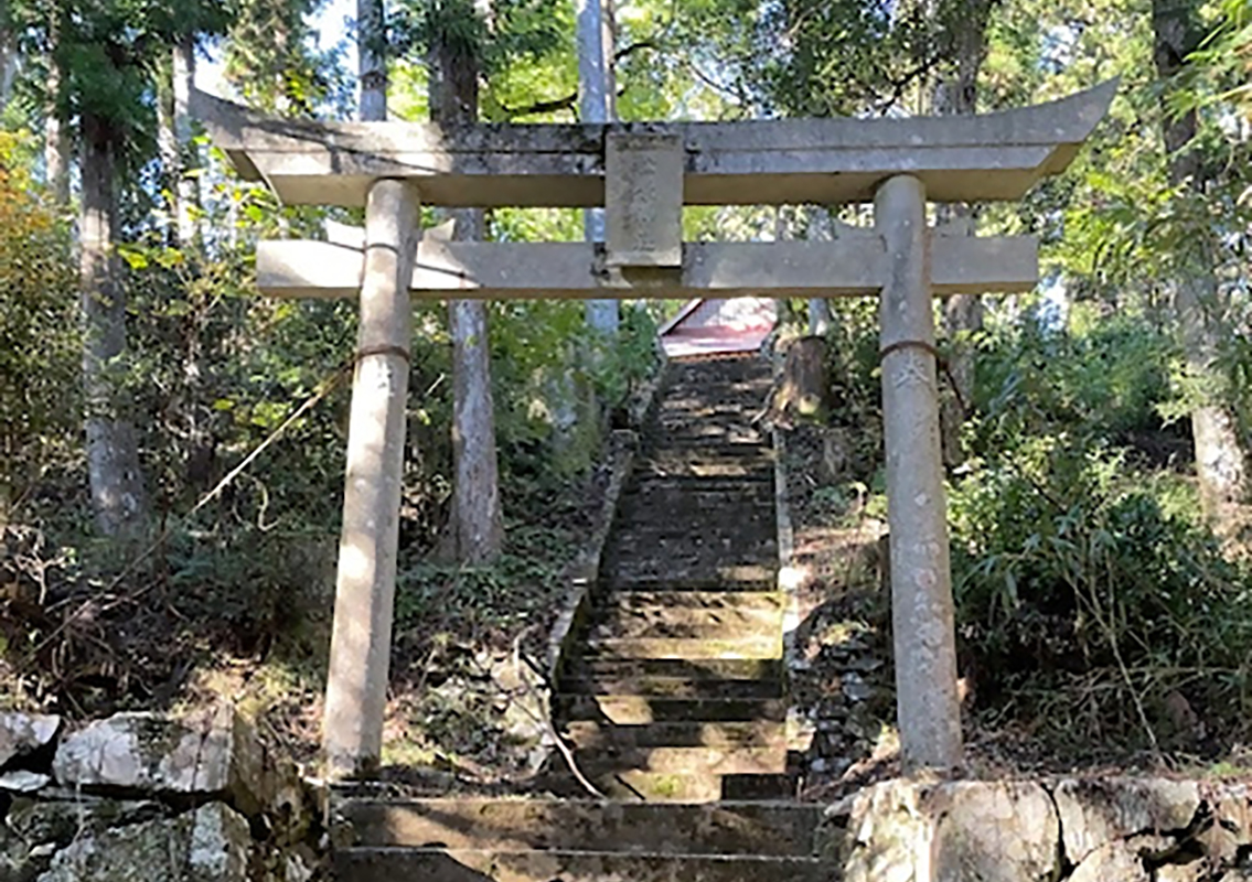 Matsubara Shrine
Established in 701 as a guardian shrine of Taihoji, the 44th temple of the Shikoku 88-Temple Pilgrimage, Matsubara Shrine has a long history. The current worship hall was rebuilt in the mid-18th century and features intricate wooden carvings of flowers and plants inside.
-
6
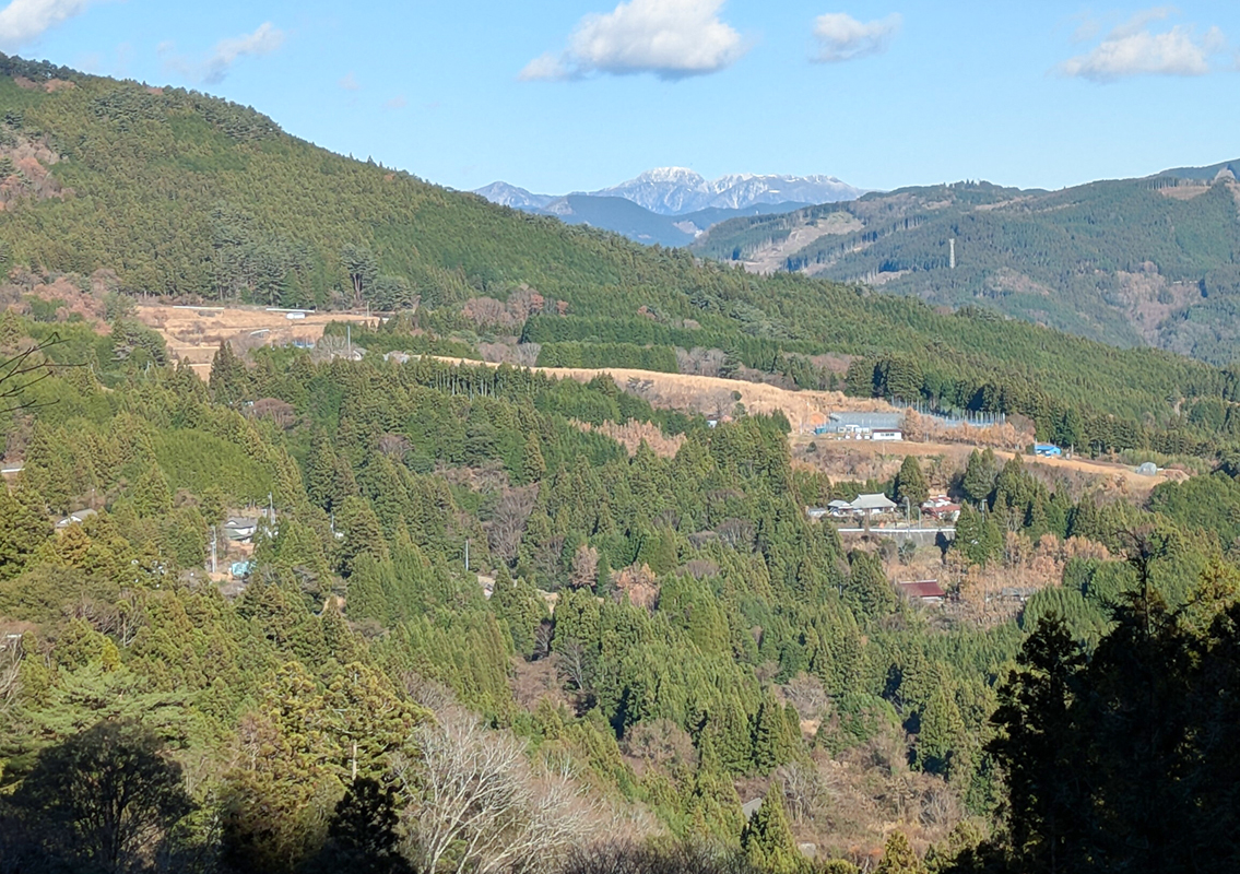 Otani District
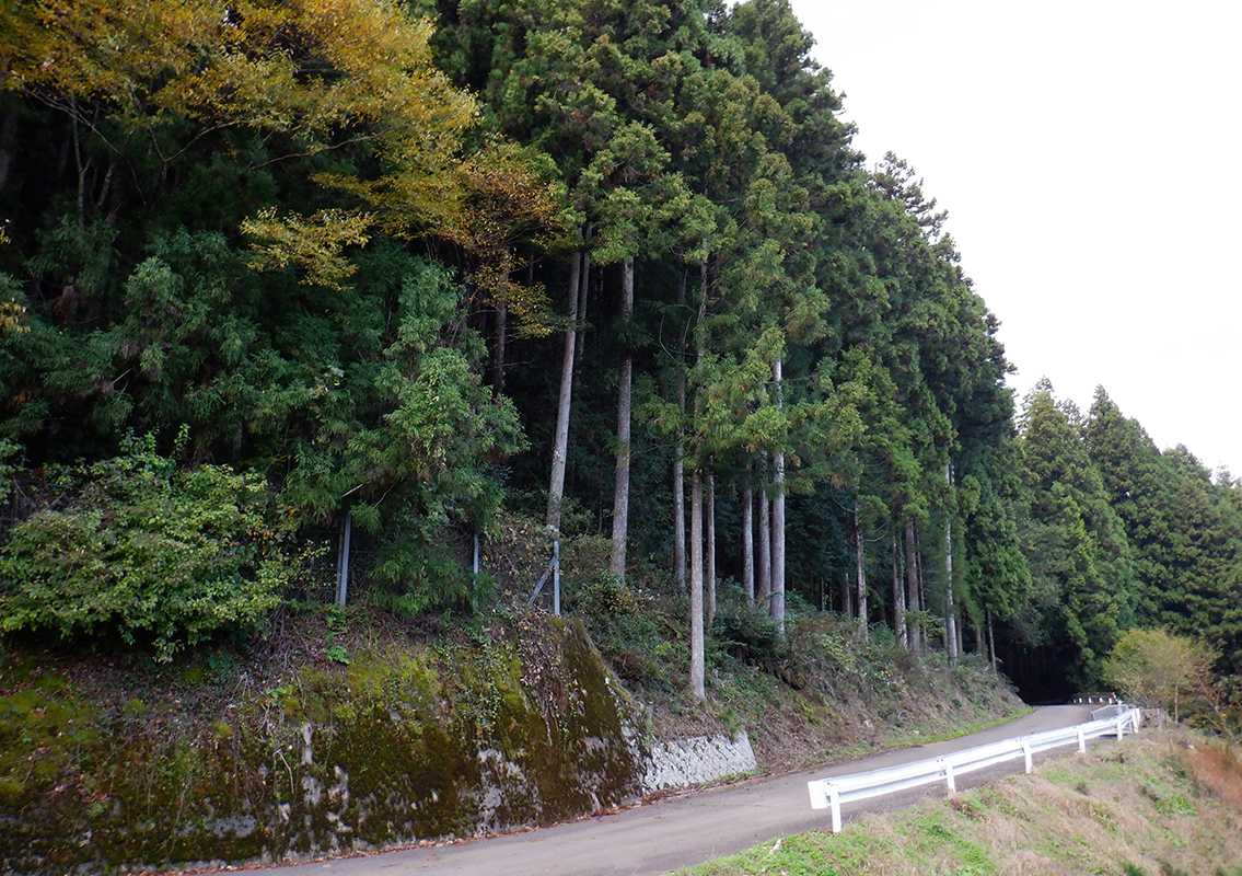
About 2.5 km from Komyoji, this district stretches across the mountain slopes. It was once home to a ski resort. Nearby is a scenic spot known as Taruga Falls, which was depicted in the Kumayama Shinkei Emaki (Scenic Scroll of Kumayama), painted by Edo-period artist Endo Hiromi.
-
7
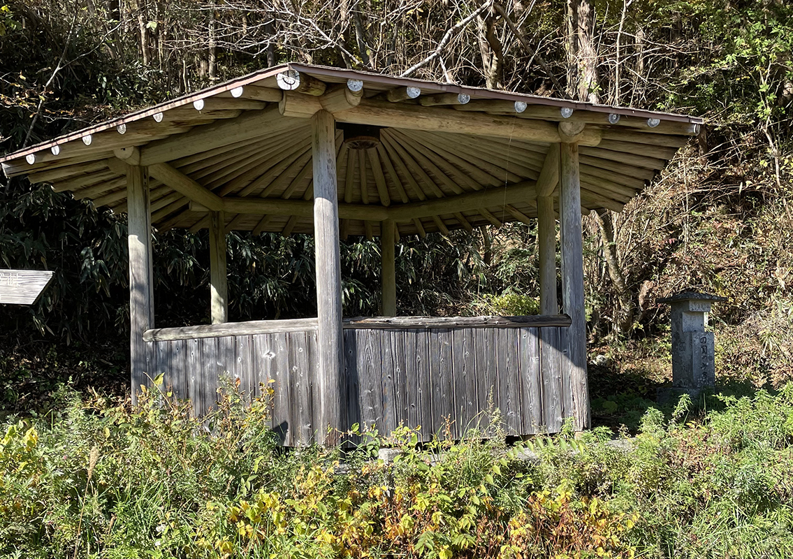 Endpoint: Former Mikawa Ski Resort Area
This rest area features a gazebo. Since this is also the starting point for the next route, why not take a break here before continuing?

